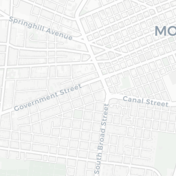
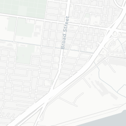
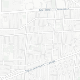
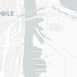


This interactive map shows current Mobile, Alabama with visual context from other eras in the city's history.
© 2017 Allen Aven
This is an ongoing project. Please share comments and feedback.
Mobile, Alabama is a coastal city with a rich New World history spanning French, British, Spanish, American, Confederate secession, and ultimately (again) American governance.
Throughout Mobile's history, the various ruling governments documented their territory in drawings and maps. From early French colonial settlers in the 1700, through American Civil War in the 1860s, to 20th century U.S. Geological Survey topo maps, cartographers traced the city's evolution from frontier fort to modern port city. Many of those maps are preserved digitally in very high quality, available from the U.S. Library of Congress and other sources.
This interactive map shows current Mobile, Alabama with visual context from other eras in the city's rich history, using modern Web technology to juxtapose new and old cartography products.
© 2017 Allen Aven
This is an ongoing project. Please share comments and feedback.
© 2017 Allen Aven
This is an ongoing project. Please share comments and feedback.